Prasad Surveys Pvt.Ltd

Redefining Measurement With Vision

Horus Visual & Laser GNSS Receiver

Visual Surveying

Precise Visual Surveying

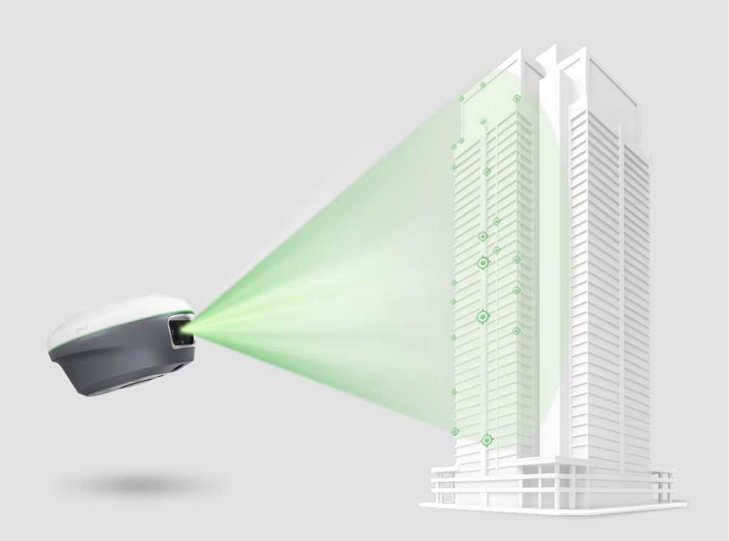
Powered by an HD starlight camera and advanced visual algorithms, Horus enables visual surveying through capture, tap, and measure. Users can obtain centimeter-level photogrammetry results quickly and intuitively, without complex post-processing.

Laser Surveying

Camera-Assisted Laser Surveying

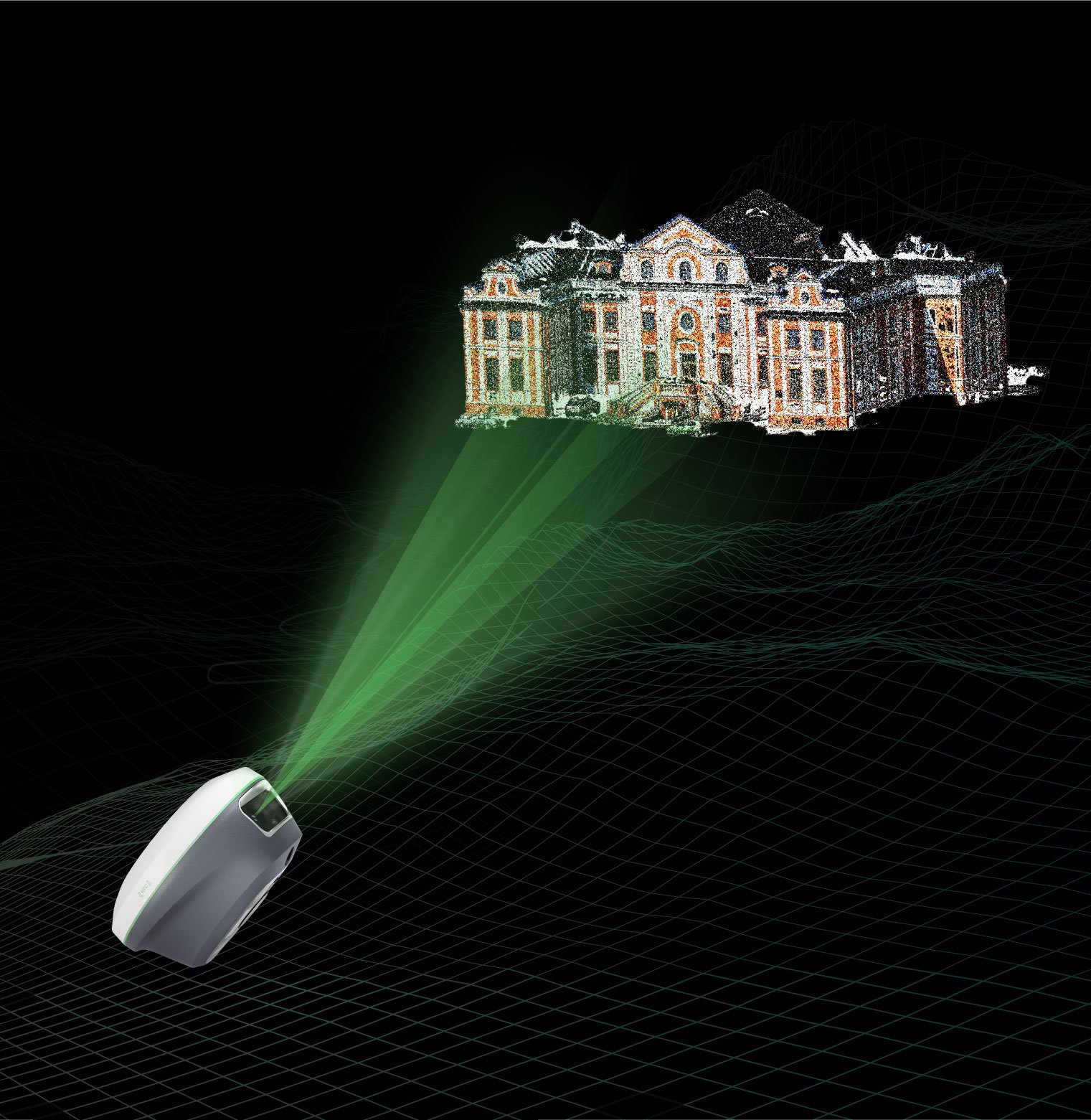
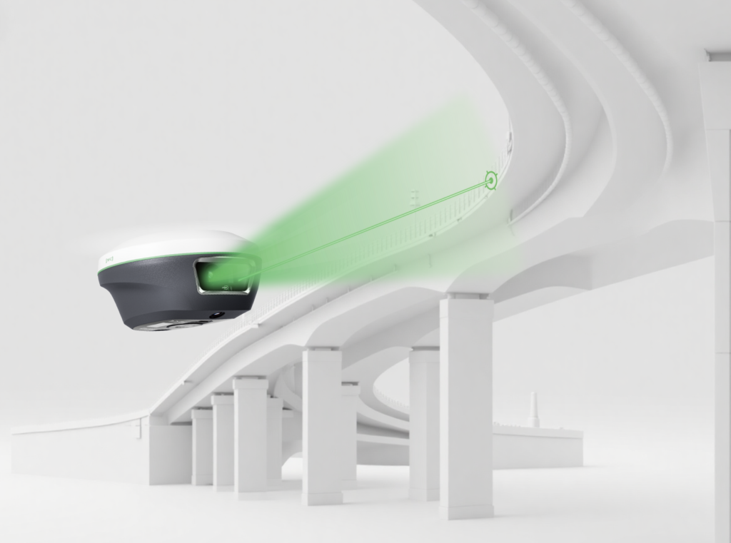
Combined laser surveying with back camera, the Horus provides clear visual-assisted targeting for clear and precise aiming of non-contact laser surveying, extending the surveying range up to 50m range.

Laser Surveying

Camera-Assisted Laser Surveying

Combined laser surveying with back camera, the Horus provides clear visual-assisted targeting for clear and precise aiming of non-contact laser surveying, extending the surveying range up to 50m range.

AR Stakeout

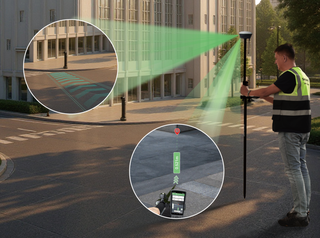
Dual-Camera AR Stakeout

With dual-camera integration, Horus enhances AR stakeout through auto distance-based switching — the back camera for long-range points and the bottom camera for close-range guidance, ensuring the most intuitive and accurate view for every stakeout.

Laser Surveying

Channels

BDS

GPS

GLONASS

Galileo

QZSS

SBAS

HARDWARE

Platform

Laser Sensor

Camera

Communication

Storage

Front panel

ACCURACY

RTK

Static Post-processing

Tilt Surveying

Visual Surveying

AR Stakeout

Laser tilt surveying

GENERAL

WebUI

Battery

Size

Weight

Waterproof & Dustproof
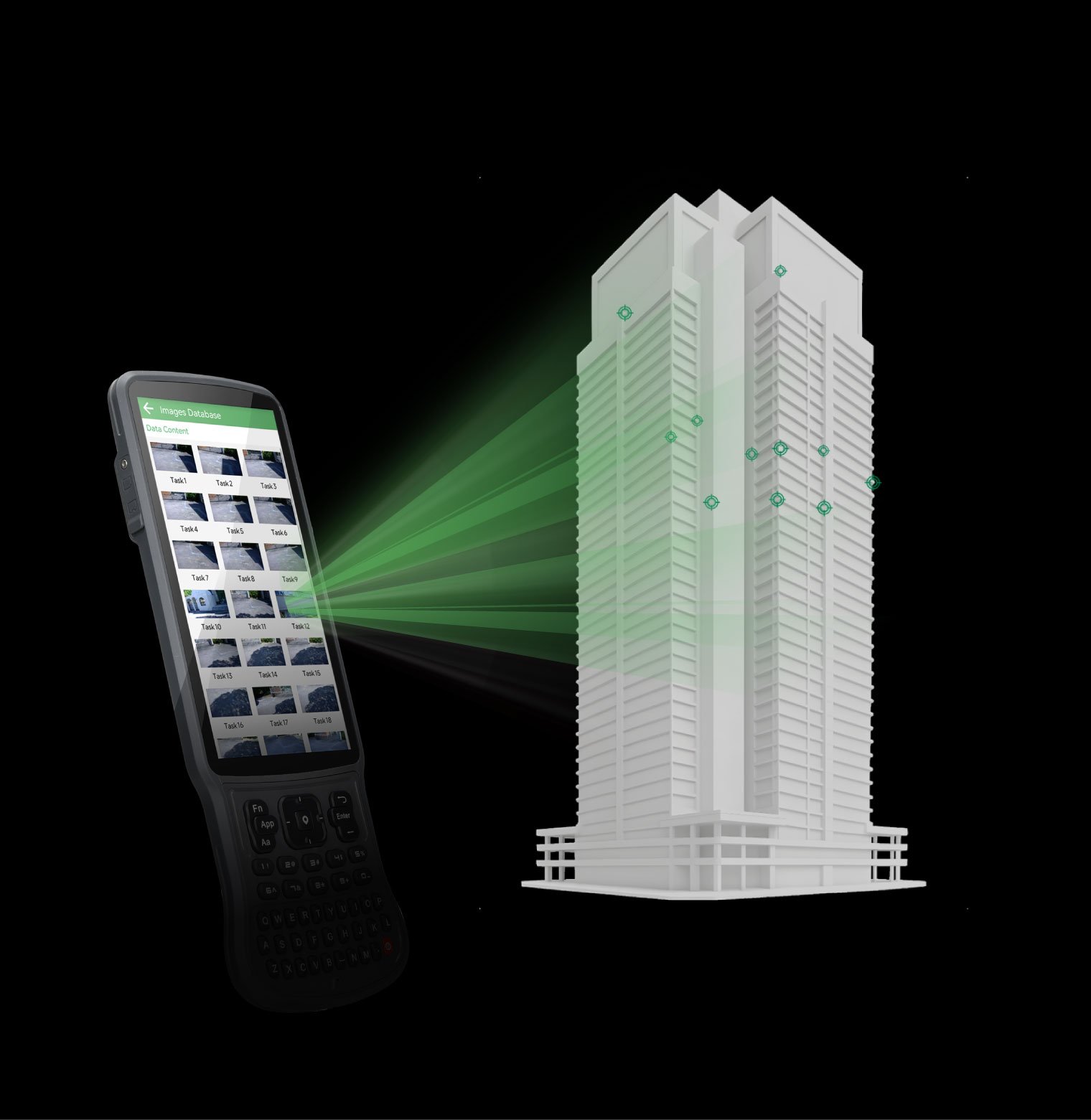
Efficient Visual Surveying Workflow

Horus enhances efficiency by capturing multiple points from a single photo while preserving all image records for verification or missed-point recovery, helping you see every detail and get more done with ease.

Visual Data Ready For 3D Modeling*

From image capture to modeling, Horus generates high-quality visual data ready for seamless integration with third-party post-processing software, simplifying 3D modeling and mapping.

New Generation IMU

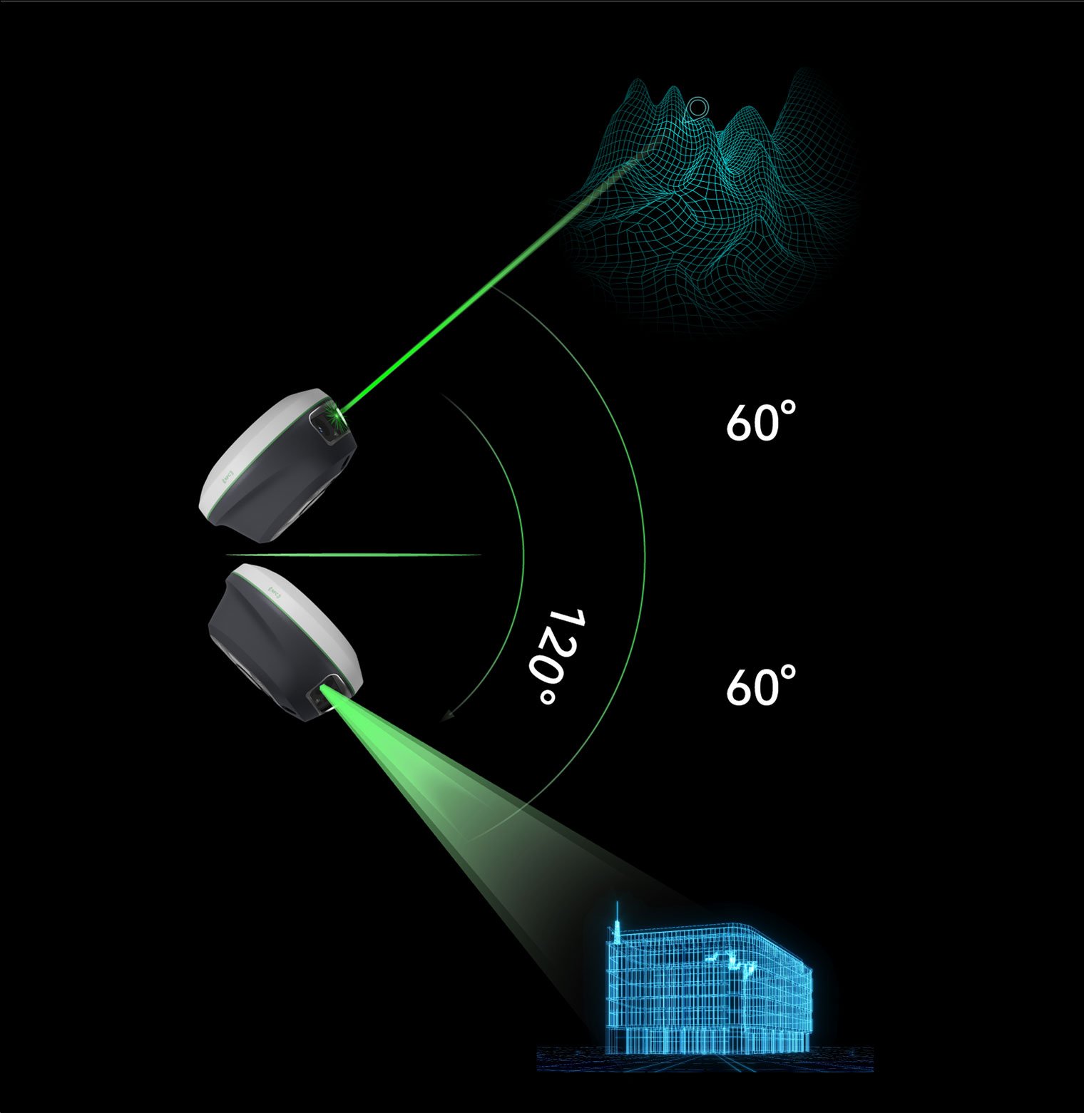
Supporting up to 60° tilt compensation, the IMU module ensures stable and precise performance — providing a robust foundation for visual surveying, laser surveying, and pole surveying alike.

Smart Engineering in Every Part

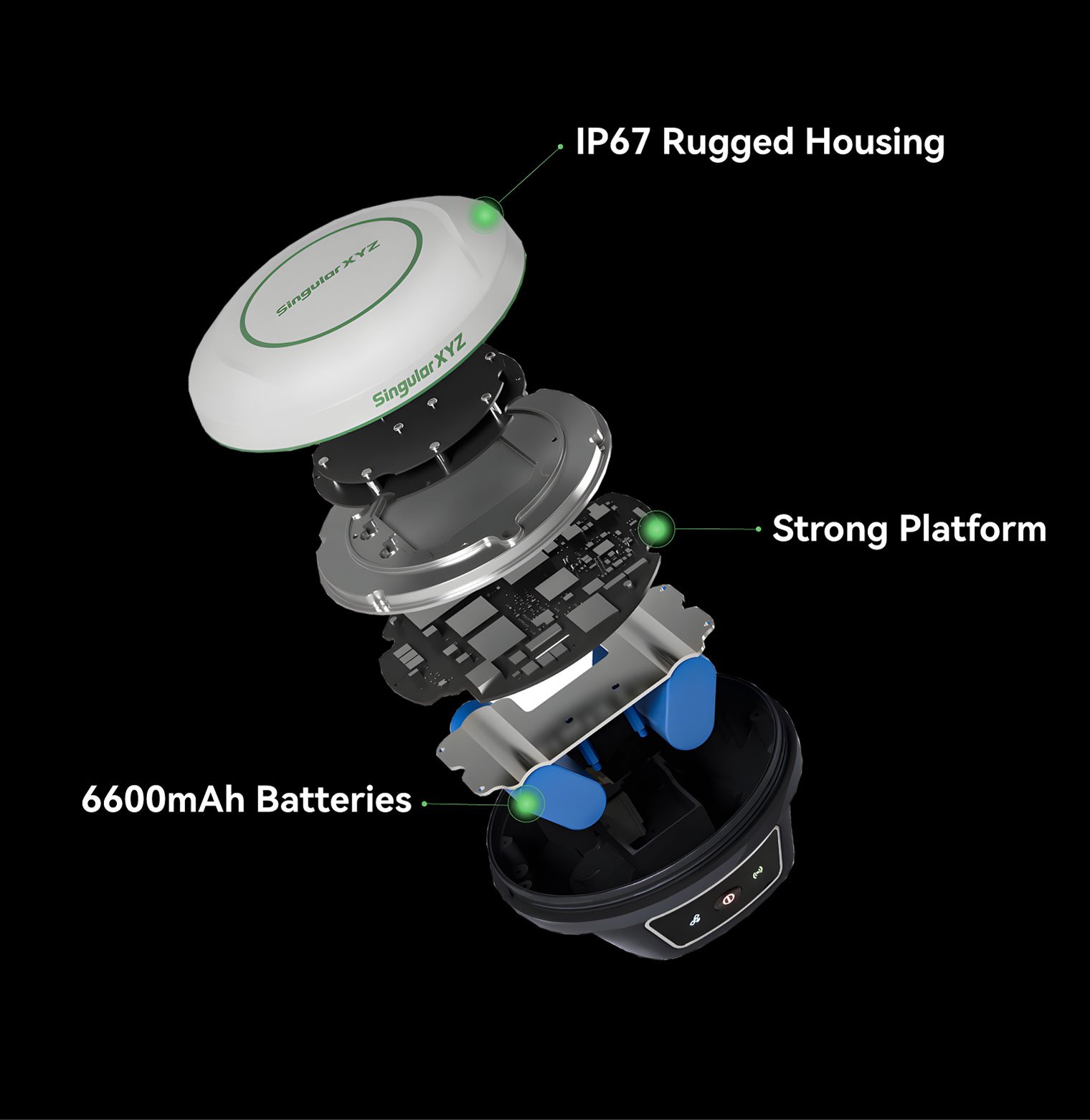
Every component of Horus is built for endurance and intelligence —6600 mAh batteries supports 12 hours of continuous work, an IP67 Al-Mg housing withstands 2 m drops, and a quad-core platform with 2.0 Tops NPU powers advanced processing.

Full-Constellation Tracking

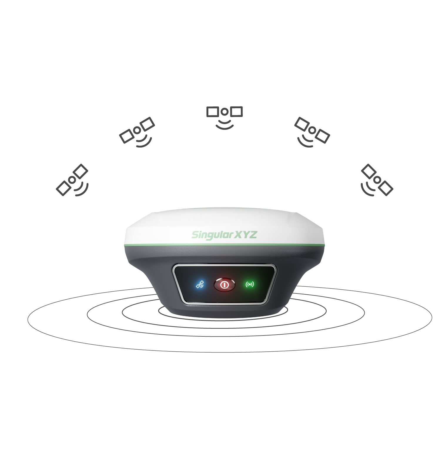
Horus tracks GPS, BDS, GLONASS, Galileo, QZSS, and NavIC simultaneously. Advanced anti-interference algorithms ensure fast, reliable FIX even in urban canyons, dense forests, or signal-challenged areas.

Seamless Connectivity

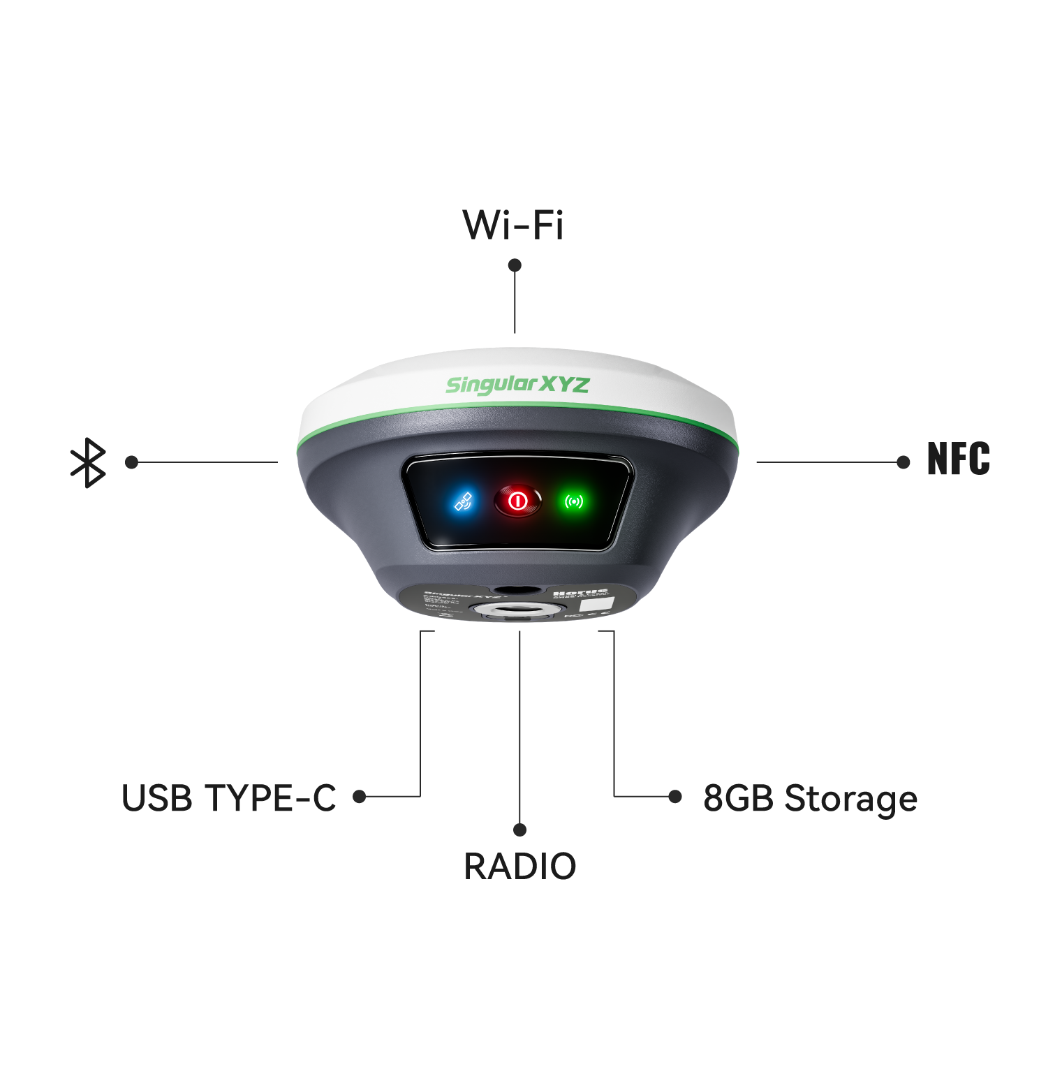
Featuring NFC, Bluetooth, Wi-Fi, USB Type-C, and 8 GB onboard storage, Horus simplifies device setup, data transfer, and system management — connecting effortlessly to your preferred workflow.

Flexible Work Modes

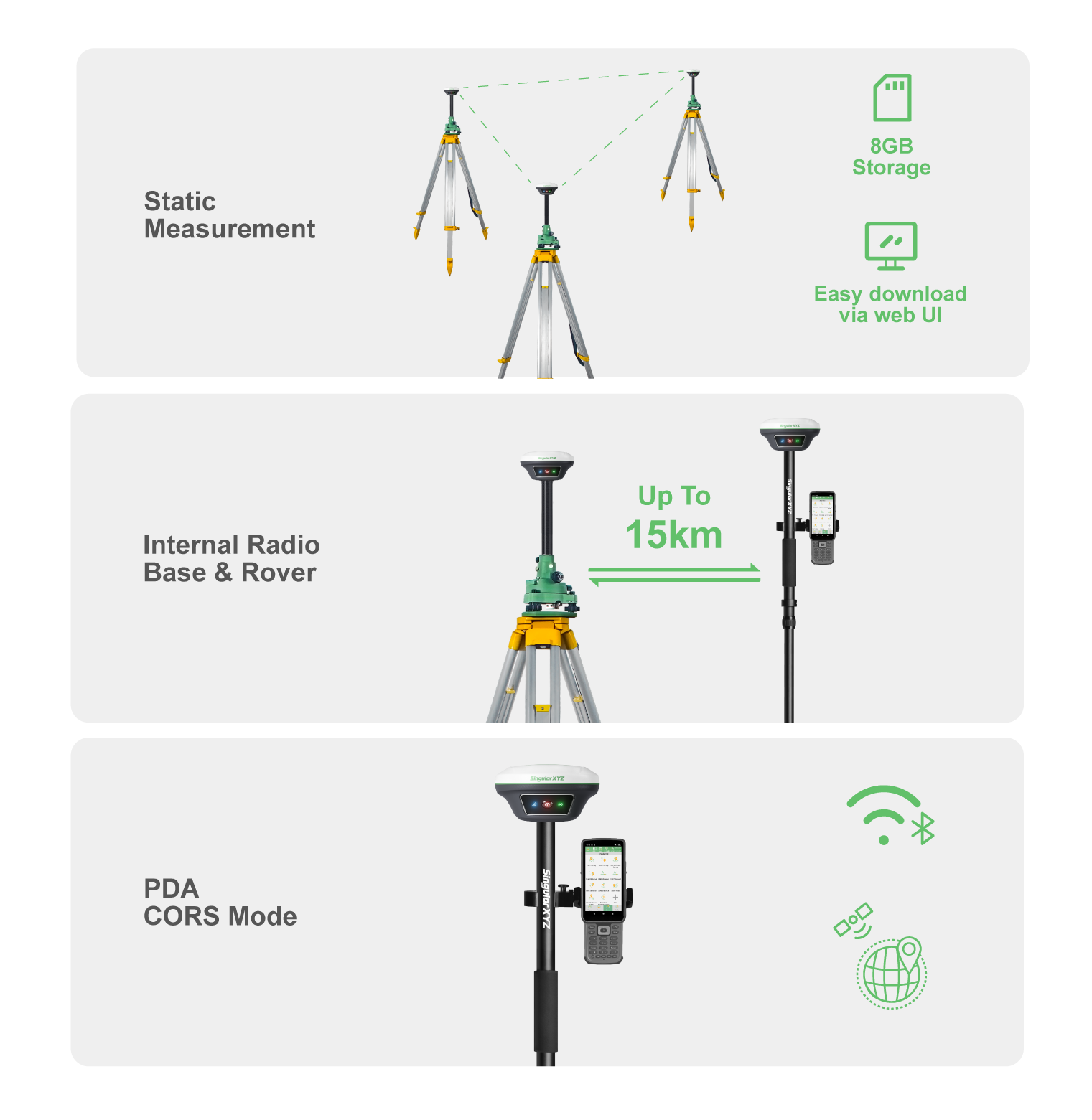
Static Measurement : Record static with 8GB storage, downloadable via web UI. Internal Radio Mode : Achieve up to 15km range with the built-in UHF radio. PDA CORS Mode : Connect through Bluetooth, easily access to local CORS via PDAs.